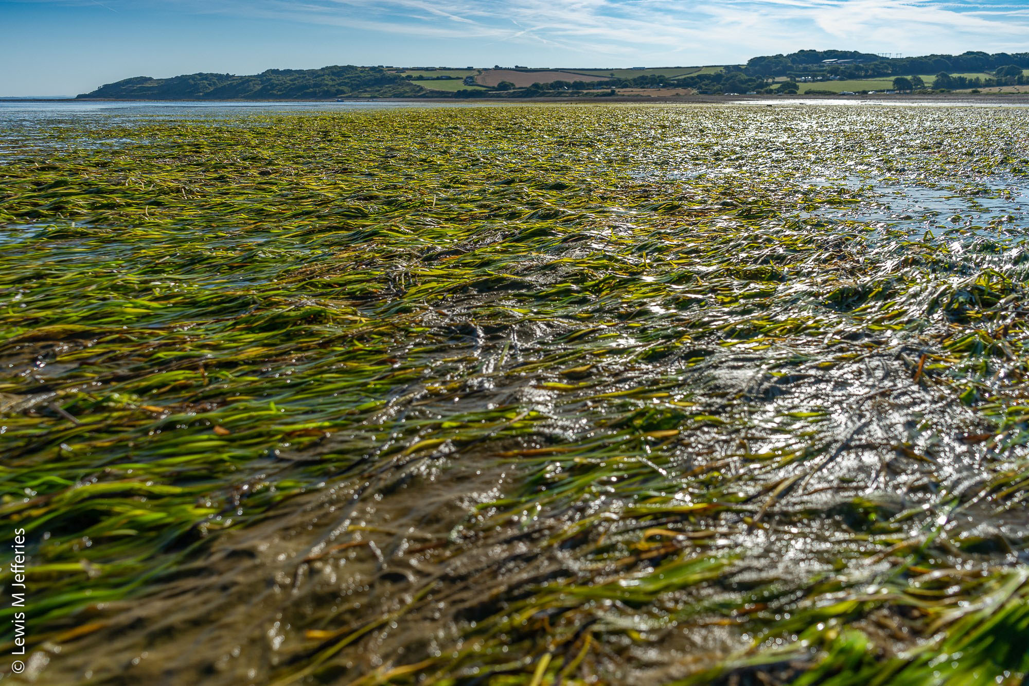
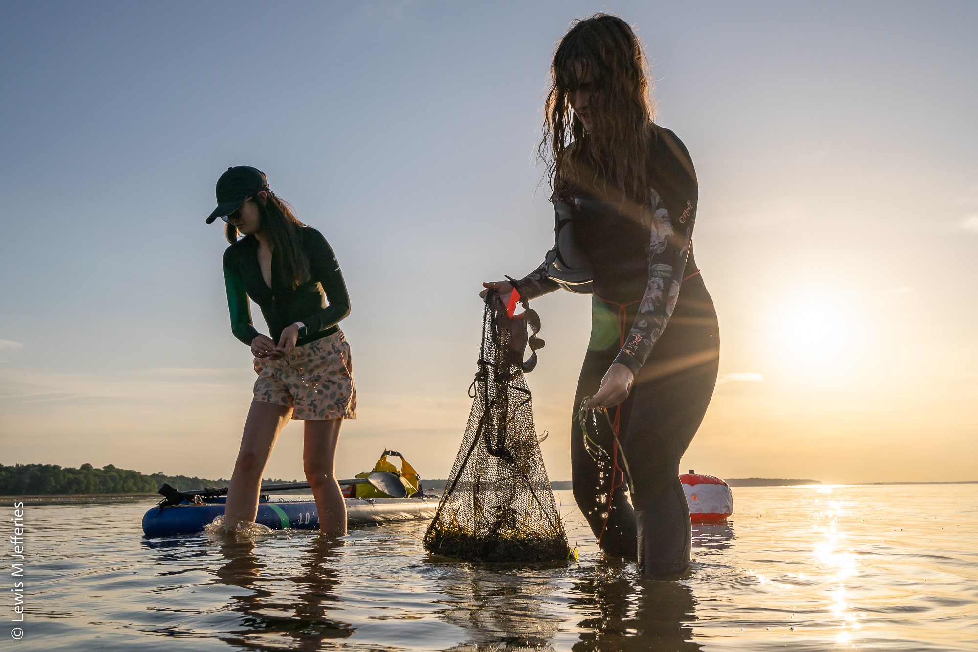
ReSOW will develop a UK-wide baseline map of seagrass, which will contribute to international initiatives on seagrass assessment and provide a key resource for marine planning, environmental impact assessment and management.
We will use a case study approach to understand the variability within ecosystem services provision. Different environments are subject to different conditions in terms of the hydrodynamic, nutrient, light, and salinity conditions and consequently their capacity to deliver ecosystem services varies. We have seven study sites spread throughout the UK, for which we will gather data on carbon storage and fisheries and conduct stakeholder surveys.
Orkney’s network of over 70 islands and skerries offer a relatively pristine marine environment for seagrass ecosystems to thrive. Some of the largest seagrass meadows in the UK are present in Orkney’s waters. In 2021 Project Seagrass started a seagrass mapping project around the Orkney Islands, funded by Marine Scotland, and co-created and delivered in collaboration a local scallop diver whose local ecological knowledge enabled the targeting and mapping of previously unrecorded meadows.
In 2022 that work is continuing with additional targeted ecosystem service research (biodiversity and blue carbon) being conducted within the archiepelago in collaboration with Dr Joanne Porter and her students at the Heriot-Watt University Orkney Campus.
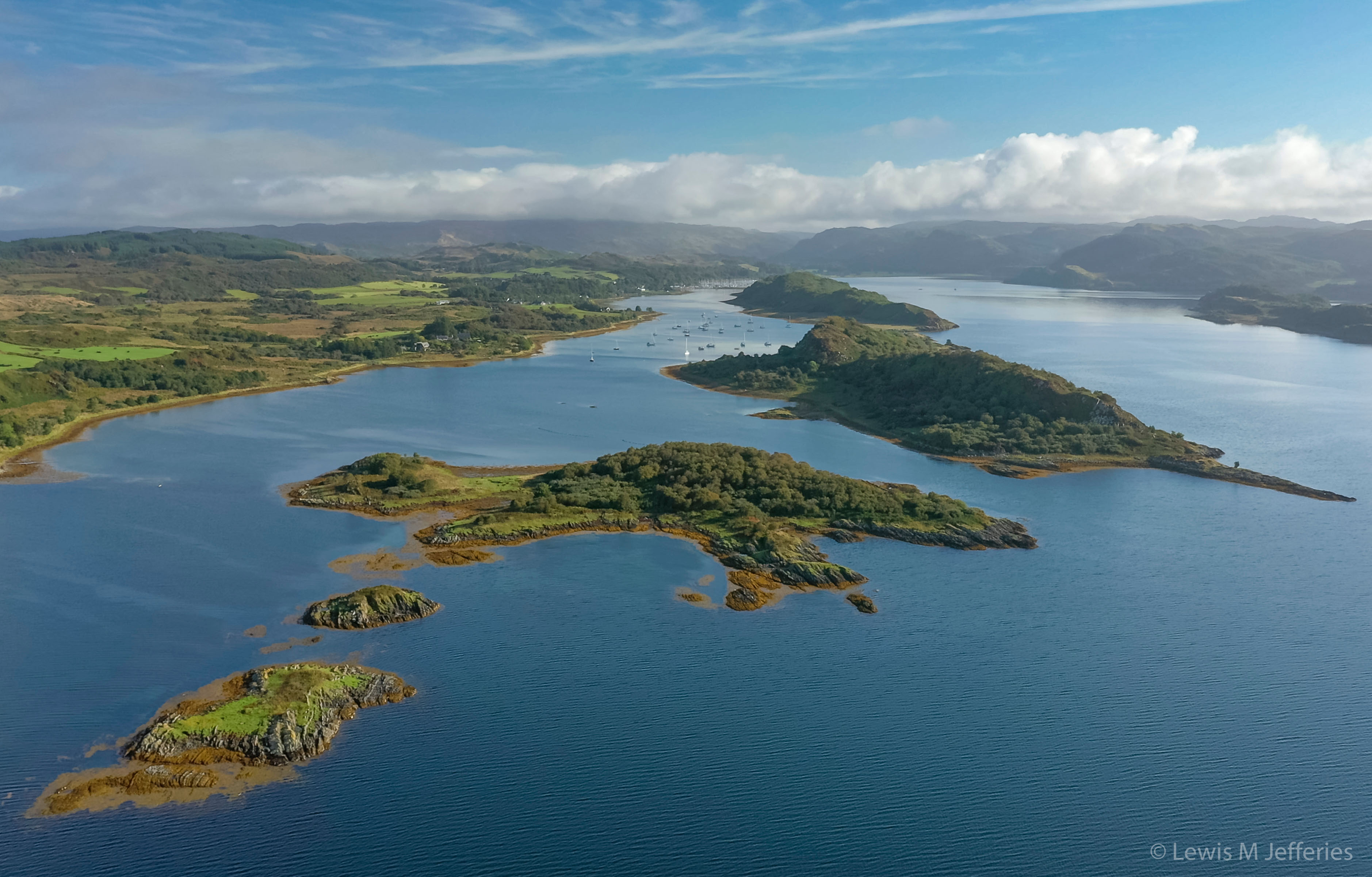
CROMACH is a community association formed to give voice to the local community in management of the marine environment of Loch Craignish, Shuna Sound, the Sound of Jura, and the Firth of Lorn. They believe management should be in the public interest and contribute to the collective benefit of the people of the peninsula of Craignish.
In 2019, CROMACH came together with other Argyll communities to successfully achieve the first Mission Blue Hope Spot in Scotland, and mainland UK, the Argyll Coast and Islands Hope Spot. Hope Spots are a catalyst to greater understanding, appreciation and protection of our marine environment, and they have a global reach. Collectively, they can help to protect and restore marine biodiversity on a local, regional, national and international scale.
In 2020, CROMACH and other organisations set up the Seawilding project, which aims to advance the environmental protection and improvement of Scottish coastal waters by developing and delivering projects to restore degraded marine habitats and species, including native oysters and other priority marine features around coastal shorelines.
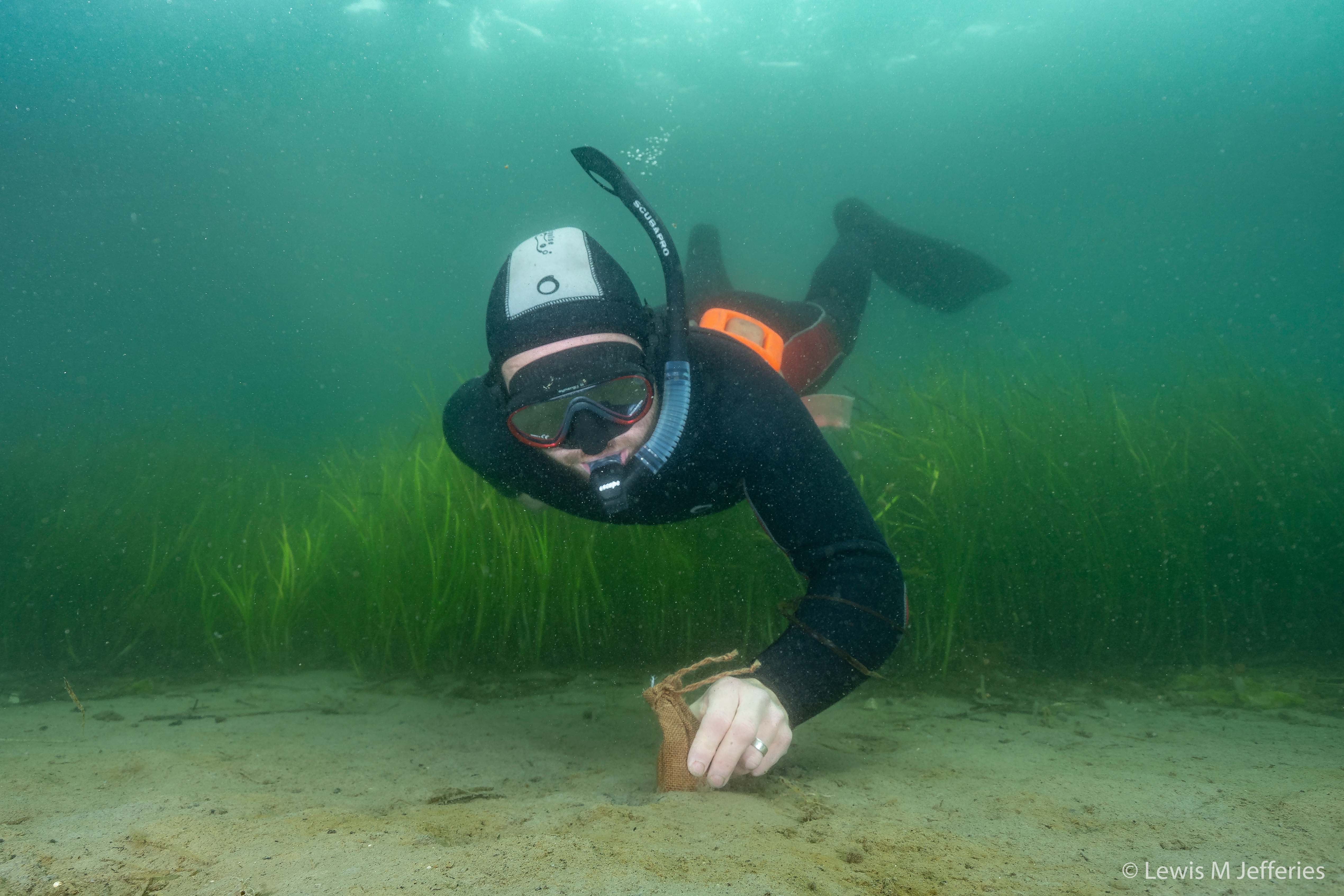
In 2021, Seawilding pioneered Scotland’s first community-led seagrass restoration at Loch Craignish https://www.youtube.com/watch?v=tid73gH2ibA. Funded by NatureScot and The Crown Estate, in 2021 they planted ¼ hectare of seagrass and in 2022 they plan a further ¼ hectare.
The North Wales case study area is focussed along the Irish Sea coastlines of Pen Llŷn (Llŷn Peninsula, Gwynedd) and Ynys Môn (Isle of Anglesey). The area is largely rural and the marine environment plays an important role in local life. Once supporting metal mining and granite quarrying industries, the modern economy is largely built on tourism and agriculture. Holyhead on Ynys Môn also hosts a key commercial and ferry port linking the UK with Ireland. The town of Nefyn on Pen Llŷn was historically an important herring port, but following collapse of the fishery, remaining fishers now largely target shellfish. The marine environment is popular for recreation and watersports, with scattered facilities including marinas, harbours and slipways.
The coastlines of both Pen Llŷn and Ynys Môn are designated Areas of Outstanding Natural Beauty (AONB). There are also several overlapping marine conservation designations designed to protect a variety of habitats and species. It is thought that seagrass (‘morwellt’ in Welsh) was historically present around several parts of the coast, but that it was lost largely due to water quality issues, including heavy metal pollution from discontinued industry. To the east of Ynys Môn, Y Fenai a Bae Conwy Special Area of Conservation (SAC) notes dwarf eelgrass Zostera noltii within its intertidal mudflats and sandflats habitat feature. Zostera marina seagrass beds are also a subfeature of the protected habitats within the Pen Llŷn a'r Sarnau SAC that extends around much of Pen Llŷn. There is a relevant authority group for Pen Llŷn a'r Sarnau that employs a full-time SAC officer, who is actively engaged in seagrass projects. The Porthdinllaen i Borth Pistyll Site of Special Scientific Interest (SSSI) on Pen Llŷn’s north coast also notes seagrass amongst its interest features.
The seagrass meadow at Porthdinllaen is one of the largest and densest in Wales. It is well-studied as part of the Pen Llŷn a’r Sarnau SAC. The meadow has been fundamental to piloting seagrass restoration in the UK, including its role as a seed donor site for planting trials. Most of the seeds used in the UK’s first large-scale seagrass restoration project – Seagrass Ocean Rescue in Dale, Pembrokeshire – came from Porthdinllaen. As a sheltered haven, the site is also used for boat mooring, launching and other watersports, and is home to the local RNLI lifeboat station. North Wales now has a Seagrass Ocean Rescue project of its own, which builds on the work at Dale. This project aims to plant a total of 10 ha seagrass across several sites around Pen Llŷn and Ynys Môn, using 5 million seeds. The four-year project is funded by a £1 million National Lottery grant and is managed collaboratively by the World Wide Fund for Nature (WWF) UK, Project Seagrass, Swansea University, North Wales Wildlife Trust and the Pen Llŷn a’r Sarnau SAC. A large effort has been put into community engagement for the project to foster long-term local support. Amongst other activities, the local Wildlife Trust has created an Ocean Rescue Champions programme for young people aged 11–16 to develop leadership and conservation skills, with participants helping with seed collection and promoting protection of local seagrass meadows.
The port of Milford Haven, managed by Milford Haven Port Authority (MHPA), is a heavy industry area. It is the UK’s largest energy port and leading port gateway, which makes up part of the Milford Haven Waterway. The port currently serves Valero Refinery and Pembrokeshire Oil Terminal, Puma Energy, South Hook LNG and Dragon LNG. The waterway also houses Europe's largest gas-fired power station ‘Pembroke Power Station’. It is the largest estuary in Wales and one of the deepest natural harbours in the world. The Haven is designated in a European Marine Special Area of Conservation (SAC) and many of the foreshores are designated as Sites of Special Scientific Interest (SSSI).
Many of the Haven’s bays have seagrass present. In 2019 Project Seagrass’ Seagrass Ocean Rescue project (with WWF UK, Sky Ocean Rescue, Swansea University and Cardiff University), was the first full scale seagrass restoration project in the UK. Over the 2 years of the project 1 million seeds were planted over a two-hectare area (approximately two rugby pitches) in Dale, West Wales within the Milford Haven waterway.
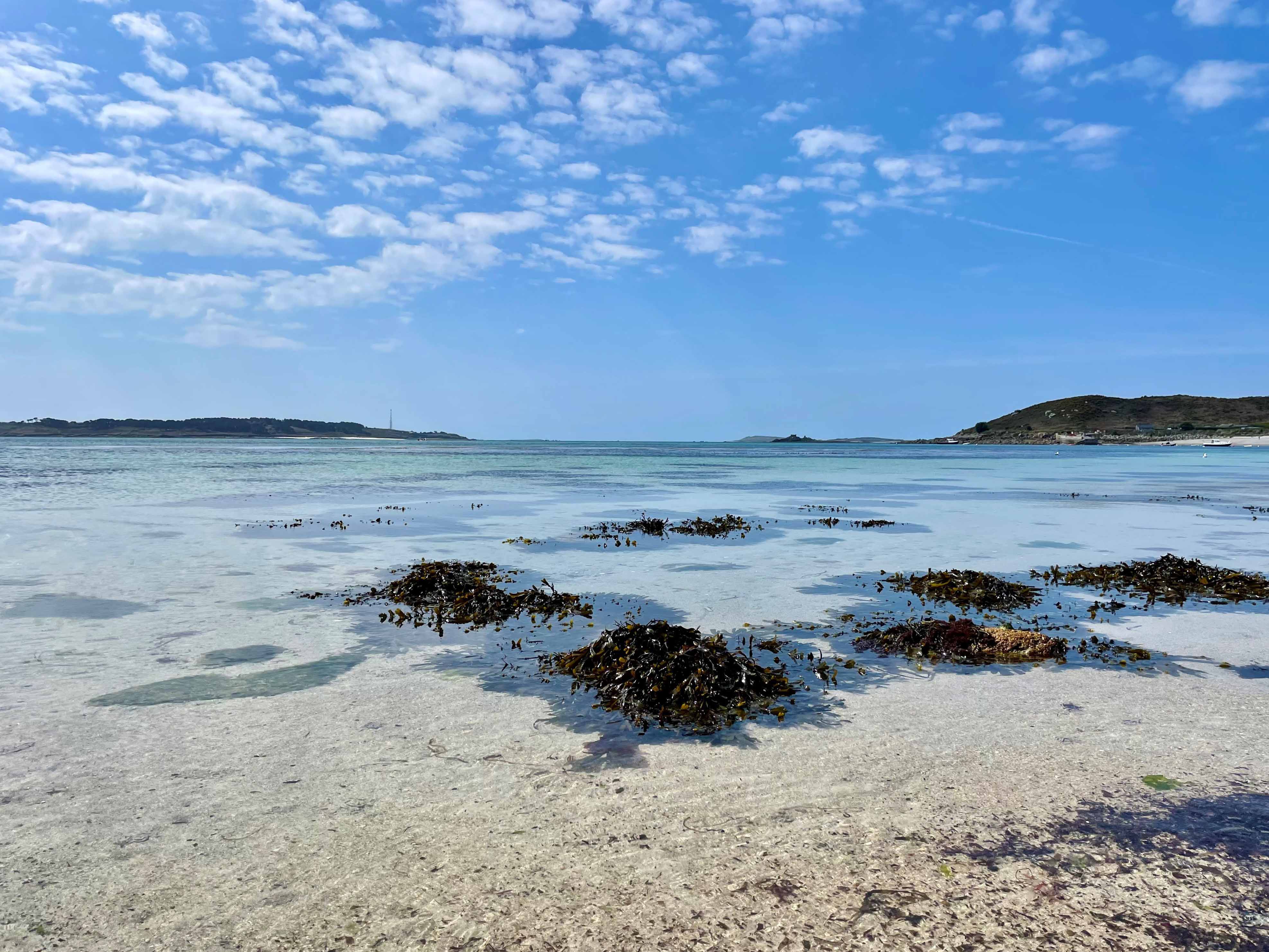
The Isles of Scilly archipelago is a highly protected area with designations including Eastern Isles Site of Special Scientific Interest (SSSI), Special Protection Area (SPA), Higher Town Marine Conservation Zone and Marine Coastal Access Act. Much of the land is owned by the Duchy of Cornwall and management by the Wildlife Trust. The area is highly dependent on tourism accounting for around 85% of its income. Natural England has designated the islands as a National Character Area. The seagrass meadows of the Isles of Scilly are some of the exemplar healthiest eelgrass meadows in the UK, which is thought to be due to the unpolluted clear waters and effects of the North Atlantic Current.
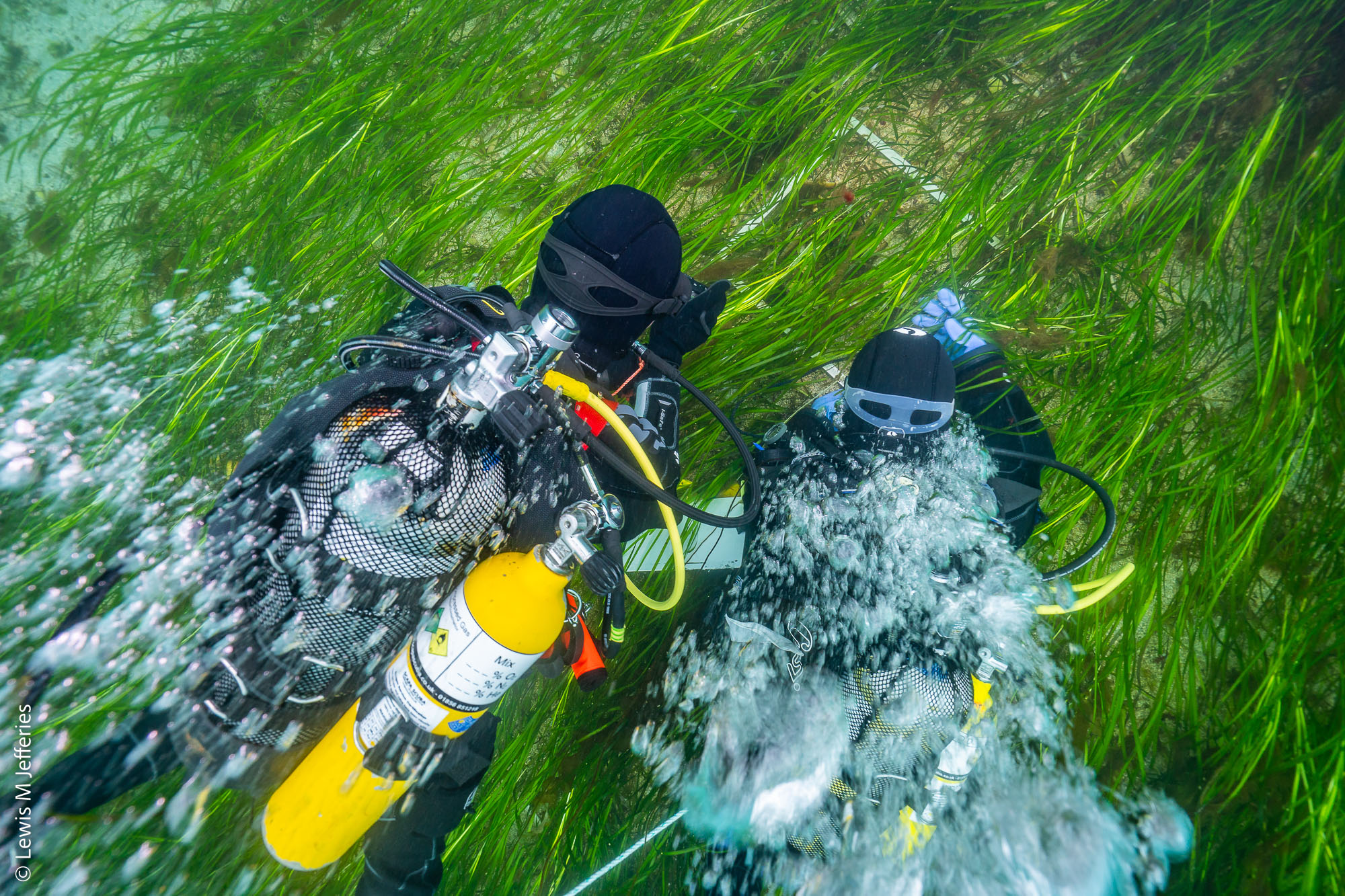
The Isles of Scilly annual seagrass diving programme funded by Natural England, in collaboration with Project Seagrass and run by Dr Jim Bull of Swansea University, has been running since 1996. This programme annually assesses the health of un-impacted temperate and subtidal (Zostera marina) seagrass at five sites around the archipelago.
In April 2022 Swansea University with University of Plymouth in collaboration with Project Seagrass and funded by Natural England undertook a data collection project using remotely operated vehicles for seagrass habitat suitability modelling (HSM). Unmanned Aerial Vehicles (UAVs) and Unmanned Surface Vehicles (USVs) were used to ground truth HSM for the Isles of Scilly.
The Solent is the strait between the Isle of Wight and the mainland UK and is a major shipping lane for freight, passenger, hovercraft and military vessels. The waterway is also heavily utilised for recreational boating and yachting. Much of the coastline is designated as a Special Area of Conservation (SAC) and is included in the Isle of Wight Area of Outstanding Natural Beauty (AONB). The Isle of Wight is also designated as an UNESCO Biosphere reserve.
Project Seagrass, working with WWF UK and funded by Carlsberg, are looking to restore Zostera marina seagrass at several locations around the Isle of Wight and in the Solent. Baseline work is currently being undertaken to identify site suitability. Restoration trials have been deployed in Ryde and Yarmouth. Arc Consulting, working with Project Seagrass on the Isle of Wight, is an environmental consultancy which supports seagrass restoration and education surrounding biodiversity within seagrass and other marine habitats. LIFE Recreation ReMEDIES led by Natural England is a £2.5 million, four-year marine conservation partnership project, due to be completed in 2023, to Save Our Seabed at five SACs in Southern England of which the Solent SAC is one.
Studland Bay is situated on the Dorset coastline, southwest England. The surrounding area is largely rural heathland and grassland with Studland village a few hundred metres inland. As a popular tourist location, around 1 in 5 houses are second homes. The nearby resorts of Bournemouth and Poole are economically supported by the service sector, with Poole also hosting a ship-building industry and ferry port. The Bankes Estate, which includes Studland, was gifted to the National Trust in 1981, and they remain responsible for managing the area. The sandy beaches are a large draw for tourists, with 1.7 million people estimated to use them annually. Recreational water sports are popular, and boat users visit in high numbers on sailboats, motorboats and jet skis. There are several swinging chain moorings and frequent anchoring in the sheltered bay, especially during the summer.
Studland Bay falls within the Dorset National Landscape Area of Outstanding Natural Beauty (AONB). There are also several overlapping marine conservation designations in the area designed to protect a variety of habitats and species. The bay itself was designated as a Marine Conservation Zone (MCZ) in 2019 to protect the intertidal coarse sediments, subtidal sands, Zostera marina seagrass beds and associated long-snouted seahorse (Hippocampus guttulatus). The seagrass and seahorse features are considered in unfavourable condition due to the threat of damage and disturbance posed by anchoring. The Marine Management Organisation (MMO) led a public consultation on management measures for the site in 2020. This proved highly contentious, with great concern about possible restrictions on marine activities and scepticism over the scientific basis for designation. However, the process prompted a proactive response from the local community, with formation of the Studland Bay Marine Partnership (SBMP). The group’s objective is to manage Studland Bay “in a collaborative and sustainable way, ensuring the MCZ objectives are met, nature can flourish, and people can enjoy the area without seriously impacting the environment.” The partnership is made up of local stakeholders that include the National Trust, boating organisations, community groups and businesses. The SBMP have three key goals: to produce a mooring plan, a draft management strategy and vision for the next ten-years, and a future governance options paper for the bay.
Studland Bay now has a marked voluntary no anchor zone in the seagrass area, and the SBMP have secured funding to install 87 eco-moorings by the end of April 2024 to provide visitors an alternative option to anchoring. They request a voluntary contribution for using eco-moorings, with the hope this will finance their maintenance. The SBMP have also installed signage around the area to raise awareness of the seagrass and conservation measures in place. They are also promoting peer-to-peer education and engagement programmes to promote understanding and sustainable use of the bay.
